Where to ride or walk
Maps and guides for bike routes and shared paths in Darebin.
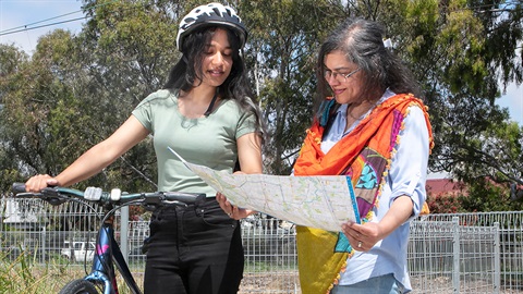
TravelSmart Maps
Our 2025 TravelSmart map shows on-road bike lanes, off-road riding trails and safe bike-riding routes, as well as walking paths, public toilets and public transport information, including tram and train maps.
You can pick up a folded, pocket sized map from one of our customer service centres, libraries or a local bike shop.
The best way to view this map is using a hard copy. However, you can also download a copy below. Please note this is a large file that may take a long time to load. For more mobile friendly maps, check out the 'useful resources' section below.
Updated in 2025
- New off-road routes
- New bike repair stations
- New drinking fountains
- New electric vehicle charging points
- New school crossings
Shared paths
We have multi-user paths for people of all ages and paces including pedestrians, wheelchair users, joggers, children on scooters or roller-skates, families with prams and dog walkers. Our off-road shared paths are conveniently marked on the Darebin TravelSmart Map.
Read more about how to stay safe and enjoy walking or riding on Darebin's shared paths
St Georges Road bike counter
In partnership with the Darebin Bicycle User Group, we have installed a solar powered bike counter on the St Georges Road shared path. Sensors in the path detect when a bike passes and the counter shows how many people have ridden past that day, and for the year to date.
Over 500,000 bikes are counted on the path every year, and this number is growing. View the latest data
Shimmy bike routes
Shimmy bike routes follow quiet back streets and are designated by signs and bike symbols, making it easy to shimmy your way through Darebin's back streets and avoid the main roads. You can find the shimmy routes marked on our TravelSmart maps.
Useful resources
Sign up for our Darebin Loves Bikes enewsletter
Sign up to our newsletter to be the first to know about Darebin bike programs, news and events.
Sign up for Darebin Loves Bikes news